Karula National Park
The smallest national park and the hilliest - a moraine landscape of small round hills and more than a hundred lakes in the far south.
Saved in this browser only - no account, nothing sent anywhere. See your map
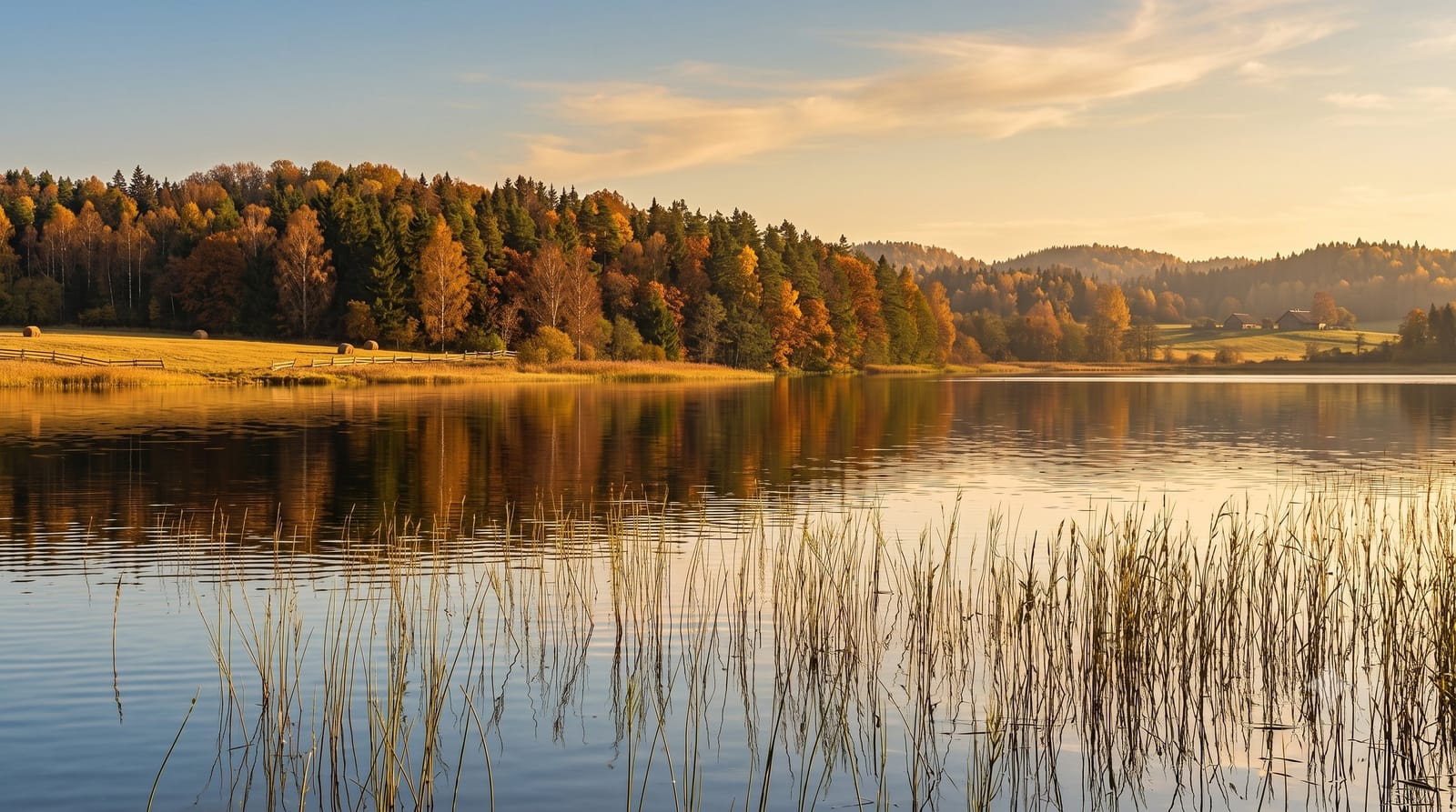
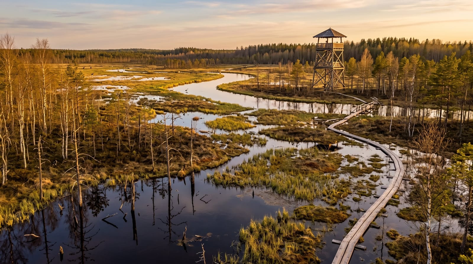
Illustrative image - a scene in the spirit of the place, not a photograph of it. Real photos are below.
Karula is what the last ice sheet left behind: a field of small rounded moraine hills with lakes in the hollows between them, packed into the smallest of Estonia's national parks. There are some forty lakes inside its boundary, and the landscape changes every few hundred metres in a way the rest of the country does not.
What you actually see
Short steep hills under mixed forest, hay meadows, and lakes ranging from ponds to Ähijärv, the largest, with the visitor centre on its shore. Traditional farms are still worked inside the park, and the old buildings and field patterns are part of what is protected.
Marked trails are short and loop between hills and lake shores; the Rebasemõisa tower gives the one wide view over the whole hummocky landscape.
When to go
- June to August - swimming in the lakes, meadows in flower, trails dry.
- Late September - the moraine landscape under autumn colour is the best it looks all year.
- Winter - ski tracks between the hills, and very few people.
Honest expectations
Small means small: this is a park for a day of walking, not a multi-day destination, and the hills are modest by any standard outside Estonia.
It is also remote. Public transport is thin, roads inside the park are gravel, and there is little in the way of services beyond the visitor centre.
Nearby
The Haanja uplands and Suur Munamägi are about forty minutes east. Valga on the Latvian border is a similar distance west.
What to pack for Karula National Park
Chosen from what this place is for. Tap a kit for the full checklist.
Opening times, ticket prices and seasonal closures change - check the official source before you go: official site.