The Imatong Mountains
The country's green roof - Kinyeti's 3,187-metre summit above montane forests, waterfalls and highland villages near the Uganda border.
Saved in this browser only - no account, nothing sent anywhere. See your map
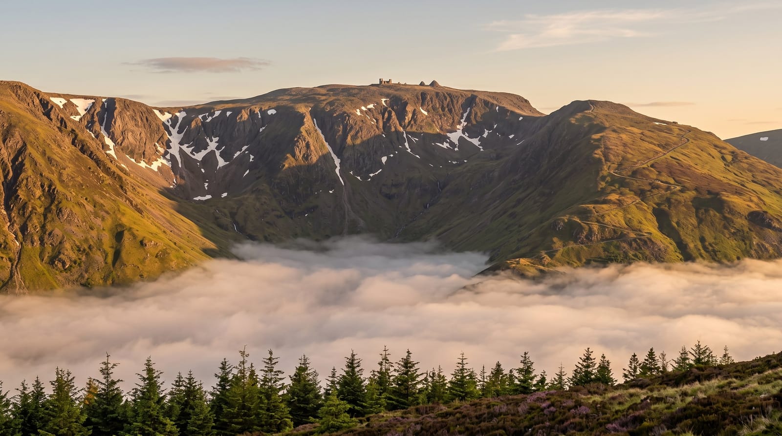
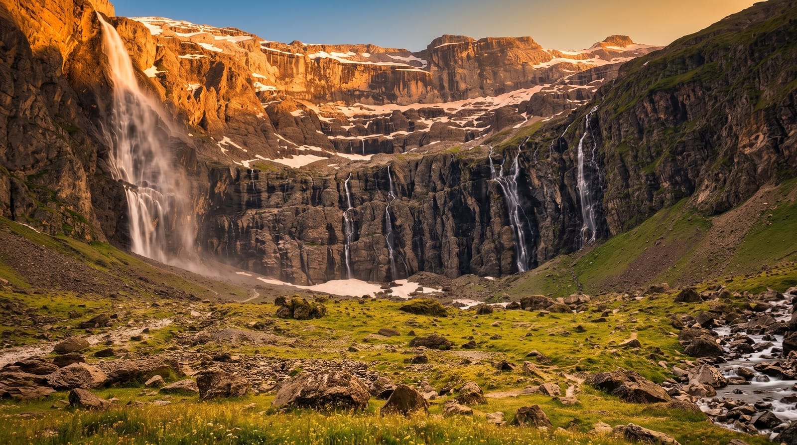
The Imatongs rise green and unexpected along the Uganda border, lifting the country's roof at Kinyeti - 3,187 metres of forested summit above ridges where montane forest holds colobus, turacos and orchid gardens, streams drop in waterfalls through the tea-cool air, and the old hill station at Gilo recalls the range's colonial-era summer role. Trekking runs village-arranged from the Torit side when the standing terms allow: forest paths to ridge camps, summit pushes at dawn, and highland hospitality in communities that see visitors rarely enough to remember each one.
What you actually see
- Kinyeti's summit - the national high point at 3,187 metres.
- The montane forests - colobus and turacos in the cool belt.
- The stream falls - cascades through the highland green.
- Gilo's hill station - the range's cool-air heritage.
When to go
December to February, the driest window, suits the trekking in principle - entirely within the standing frame: current-guidance-first, specialist-arranged, when-possible travel absolutely.
Honest expectations
The frame first, without exception. On the range: trails are village knowledge, camps are carried, and the mountains' generosity repays expedition-grade preparation - this is highland travel at its most unbrokered.
Nearby
Torit and the Eastern Equatoria hills.
What to pack for The Imatong Mountains
Chosen from what this place is for. Tap a kit for the full checklist.
Opening times, ticket prices and seasonal closures change - check the official source before you go: official site.